

-
 PRO
PRO -
 Redaction
Underwater archaeology: Lost cities revealed
Explore submerged cities, ancient artifacts, and the science of underwater archaeology - from Pavlopetri to AI-powered sonar mapping of the ocean floor.
Beneath the world's oceans, rivers, and lakes lies a vast and largely unread chapter of human history. Underwater archaeology is the scientific discipline dedicated to investigating this submerged record - from prehistoric coastal settlements drowned by rising seas to the merchant vessels that once connected ancient empires. It is not, as popular imagination sometimes suggests, simply a matter of diving down to shipwrecks.
The field encompasses entire inundated cities, sacred ritual pools, and prehistoric landscapes now resting silently on the seafloor. And the pace of discovery is accelerating. As climate change reshapes ocean chemistry and biological threats intensify, researchers are in an active race to document these sites before they are permanently lost. The technologies deployed in that race - AI-assisted sonar analysis, autonomous underwater vehicles, real-time 3D photogrammetry - are simultaneously transforming what we know about our collective past.

Navigating the archive
A significant portion of the human story lies submerged beneath the world's oceans, rivers, and lakes. Underwater archaeology serves as a specialized lens through which researchers investigate human history and prehistory in environments where the atmosphere is replaced by hydrostatic pressure and light is a luxury. This field is not merely about shipwrecks; it encompasses submerged prehistoric landscapes, inundated cities, and sacred cenotes.
Working in a submerged environment requires a fundamental departure from standard terrestrial methodologies. On land, a researcher can sit for hours documenting a stratigraphic layer. Underwater, every second is governed by the physics of gas exchange and the limits of life-support systems. Deep-sea environments present immense pressures that restrict the duration a human diver can remain submerged, primarily due to the risks of decompression sickness. Even in shallower waters, limited visibility and powerful currents transform a routine survey into a high-stakes technical operation. Silt stirred up by the slightest movement can instantly obscure a site, turning a clear excavation into a blind struggle against the elements.
The discipline also demands an unusual combination of skills. A practicing underwater archaeologist must be a qualified scientific diver, a trained excavator, and often a specialist in conservation chemistry - simultaneously.
George Bass, widely regarded as the father of scientific underwater archaeology and founder of the Institute of Nautical Archaeology, demonstrated in the 1960s that rigorous stratigraphic excavation was achievable beneath the sea. His work at Cape Gelidonya, Turkey - the first ancient shipwreck excavated entirely underwater by archaeologists - established the methodological standards the field still follows today. These physical and technical barriers make underwater fieldwork exceptionally costly and time-consuming compared to its terrestrial counterpart.

The chemistry of decay and preservation
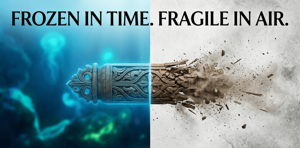
The irony of underwater archaeology lies in its preservation paradox. Deep-sea conditions, characterized by cold temperatures and low oxygen levels, can preserve organic materials like leather and wood for millennia. However, these artifacts become incredibly fragile in the process. Centuries of submersion leave materials waterlogged and brittle. When organic objects are brought to the surface, exposure to air and light can cause rapid, catastrophic decay.
Wood cells, long supported by water, may collapse if not immediately treated with stabilizers like polyethylene glycol (PEG), a slow-acting consolidant that replaces water within the cellular structure over months or even years.
Saltwater environments introduce further complications through chemical and biological agents:
- Corrosion is a constant threat to iron artifacts, which can be completely consumed by oxidation over time
- Marine organisms find metal structures attractive, forming heavy colonies that can eventually cause a site to collapse under its own weight
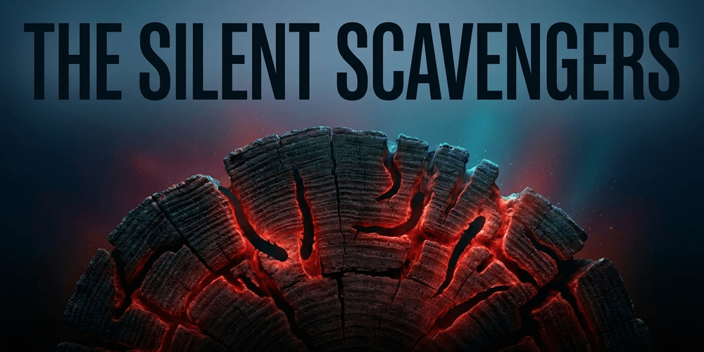
- Teredo navalis (the shipworm) acts as a silent scavenger, systematically dismantling the wooden hulls that once carried the cargoes of maritime trade
A single neglected wreck can lose structural integrity within decades if shipworm populations are active.
The recovery of any object is therefore only the beginning of a long and expensive process. Desalination of iron artifacts can take years of controlled chemical treatment. Organic materials require climate-controlled storage and careful monitoring for mold and biological activity. Conservation costs frequently match or exceed the cost of the original excavation - a financial reality that shapes every decision made at depth.
Climate change as an archaeological catalyst
Environmental shifts are currently the most significant threat to global submerged heritage. Climate change is not a future projection for underwater archaeologists; it is a present force actively altering the physical integrity of sites worldwide.
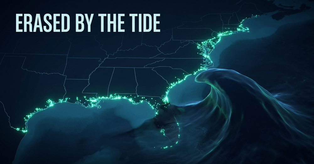
Sea-level rise is the primary concern. Research led by David Anderson of the University of Tennessee has quantified the scale of this threat: a one-meter rise in sea levels could lead to the loss of over 13,000 recorded archaeological sites across nine U.S. states on the Gulf and Atlantic coasts alone, including approximately 1,000 sites currently eligible for the National Register of Historic Places.
Beyond simple inundation, climate change drives erosion and sedimentation that can be equally devastating. Increased rainfall and violent wave action displace artifacts from their original positions, stripping them of the stratigraphic context that makes precise dating and functional analysis possible. Once an artifact is removed from its matrix by storm surge, its story becomes permanently fragmentary.
Changing ocean properties are reshaping biological threats in ways that compound the problem:
- Rising sea temperatures allow wood-boring shipworms to migrate into previously temperate zones and extend their reproduction cycles, accelerating the destruction of wooden shipwrecks that had remained stable for centuries
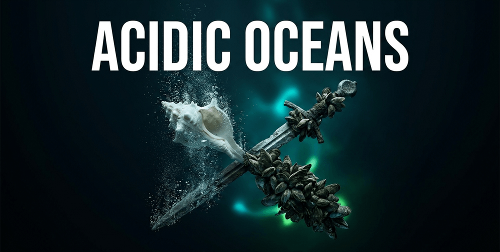
- Ocean acidification poses a long-term chemical threat to calcium-based artifacts - shells, bones, and certain building materials - and alters the rate of metal corrosion in ways still being actively studied
- Non-native invasive species have already transformed the archaeology of entire regions; in the Great Lakes, the introduction of quagga and zebra mussels has fundamentally altered the submerged landscape, encrusting shipwrecks in thick layers that add immense weight and obscure diagnostic features
Josh Wells of Indiana University South Bend has been outspoken about the urgency of this challenge, emphasizing that the discipline must accelerate documentation before biological encrustation reaches irreversible levels.
Protecting submerged heritage: the legal framework
The scientific and ethical treatment of underwater cultural heritage is governed by an evolving body of international law. The most significant instrument is the UNESCO Convention on the Protection of the Underwater Cultural Heritage, adopted in 2001 and entering into force in 2009. The convention explicitly prohibits the commercial exploitation of underwater cultural heritage and requires state parties to protect sites found in their territorial waters, exclusive economic zones, and on the continental shelf.
"Underwater cultural heritage means all traces of human existence having a cultural, historical or archaeological character which have been partially or totally under water, periodically or continuously, for at least 100 years." - UNESCO Convention on the Protection of the Underwater Cultural Heritage, 2001, Article 1
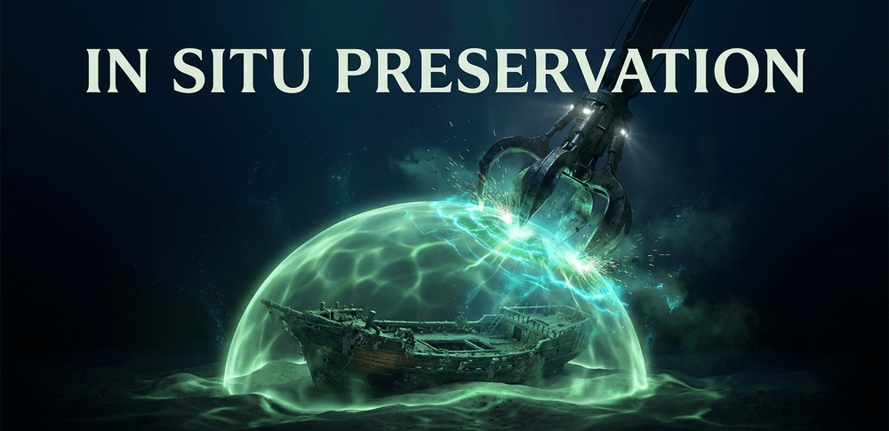
The convention enshrines the principle of in situ preservation as the first option: sites should be documented and, wherever possible, left undisturbed rather than excavated and relocated. This has reshaped priorities across the discipline, directing investment toward non-invasive survey technologies rather than extraction.
As of 2026, more than 70 states have ratified the convention. However, several major maritime nations - including the United States and the United Kingdom - have yet to formally accede to it, a gap that creates persistent legal ambiguities around deep-sea sites in international waters.
National frameworks vary widely. In the United States, the National Historic Preservation Act and the Abandoned Shipwreck Act of 1987 provide the primary protections for wrecks in state waters. The UK operates under the Protection of Wrecks Act 1973 and the Protection of Military Remains Act 1986. Researchers operating across jurisdictions must navigate this patchwork of legislation, often requiring permits from multiple national authorities before a single dive takes place.
The digital revolution in the deep
To combat the physical and logistical challenges of underwater fieldwork, the discipline has embraced a suite of remote sensing and robotic technologies that have fundamentally changed what is possible in a single field season.
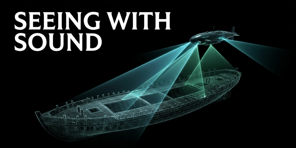
Sonar mapping has become the standard for non-invasive site assessment:
- Side-scan sonar produces high-resolution imagery of the seabed by emitting acoustic pulses to either side of the towfish
- Multibeam sonar allows for the creation of detailed three-dimensional topographic maps of the ocean floor
- Sub-bottom profilers use acoustic waves to penetrate sediment layers, revealing buried structures without any initial excavation
- Marine magnetometers detect anomalies in the earth's magnetic field caused by ferrous metals, enabling teams to locate submerged iron hardware and hulls across wide survey areas
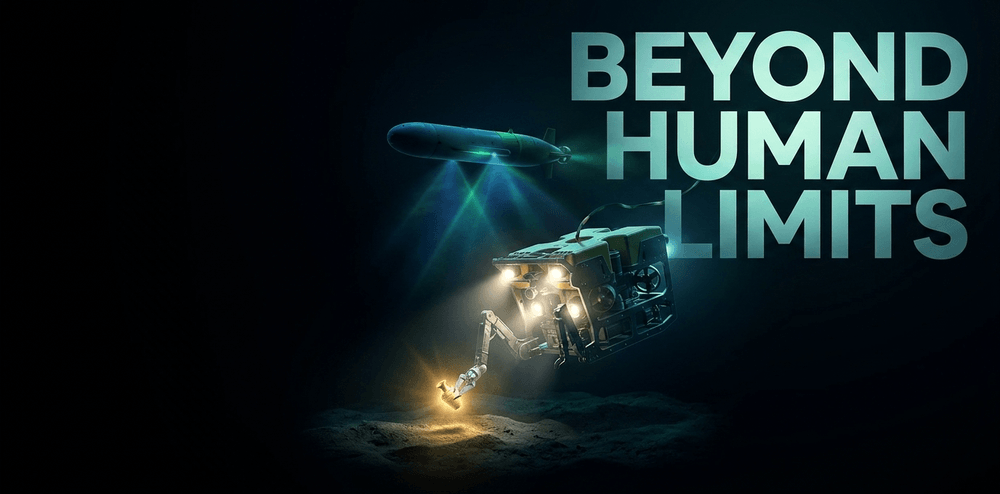
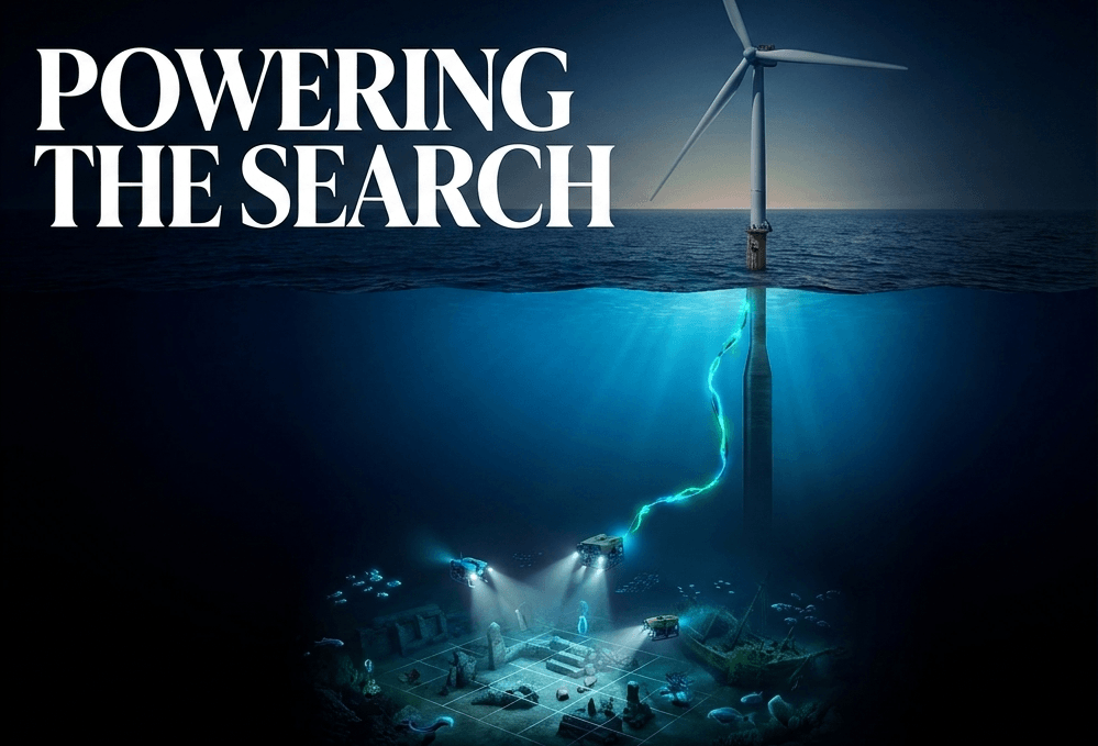
Robotics have extended the archaeologist's reach into depths that were previously inaccessible. Remotely Operated Vehicles (ROVs) can descend to depths lethal for human divers, equipped with high-definition cameras and mechanical arms capable of delicate sampling operations. Autonomous Underwater Vehicles (AUVs) operate independently, following pre-programmed survey paths across vast areas of the ocean floor with high-precision sensors and no tether to a surface vessel. In cases where human presence is essential at great depths, atmospheric diving suits and specialized submersibles provide a pressurized working environment for researchers operating beyond the 100-meter recreational diving limit.
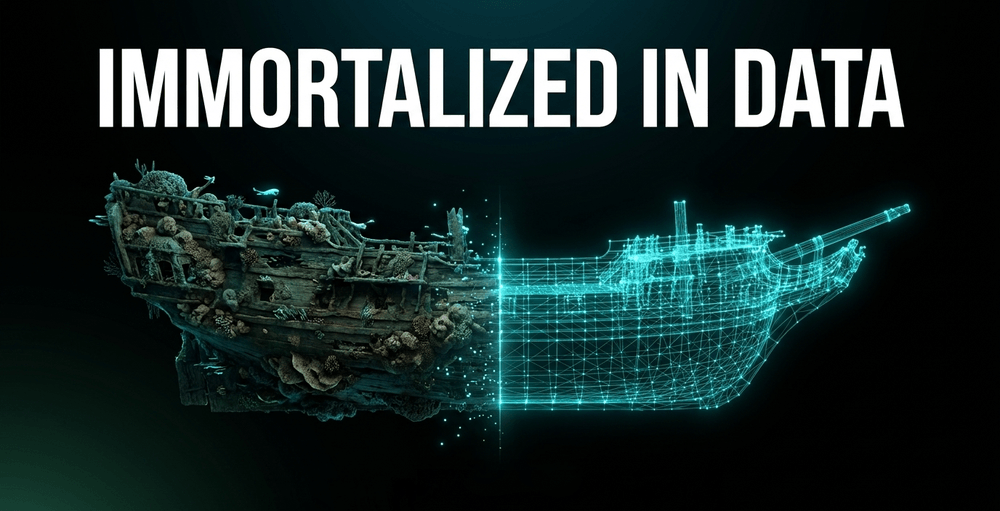
Documentation has moved decisively into three dimensions. 3D photogrammetry - the process of stitching together thousands of photographs taken from multiple angles into a precise digital model - creates accurate digital twins of submerged sites that can be studied by researchers worldwide without ever disturbing the original material. These models are now routinely deposited in open-access digital repositories, enabling a form of peer review of spatial data that was previously impossible.
Artificial intelligence is transforming the analysis stage at an equally rapid pace. Machine learning algorithms trained on sonar and photographic datasets can detect patterns and anomalies indicative of human-made structures, dramatically reducing the time required to survey large areas of the seafloor. AI-assisted analysis of photogrammetric models can flag areas of potential interest for human expert review, minimizing the physical footprint left on fragile environments.
Excavation tools have also evolved considerably. Electronic mapping systems connected to shipboard computers now plot artifact locations with millimetric precision and work significantly faster than traditional manual triangulation. Specialized vacuum systems can remove sediment at rates of up to 600 gallons per minute, passing the material through floating screens to capture small finds.
Funding the search for the past
The high cost of maritime technology makes robust institutional support a prerequisite for serious fieldwork.
The Institute of Nautical Archaeology (INA), founded by George Bass in 1972, remains a central pillar of the global effort, providing equipment loans and research grants to qualified projects worldwide. The Claude Duthuit Archaeology Grant, administered by INA, offers a substantial $30,000 annual award for significant projects. Most other INA grants are smaller, typically not exceeding $7,500, with applications due by October 1 each year for projects planned for the following field season.
Newer funding avenues have emerged alongside these established channels. The International Nautical Archaeology Foundation (INAF) was established following a $1 million donation from the Edward & Saryl Von der Porten Trust. Its inaugural grant cycle funded eight projects globally, including Gary Bankhead's investigation of a Roman industrial site in Sunderland, UK, and Leah Tavasi's study of marine cultural heritage in the Falkland Islands. Individual awards range from £500 to £20,000 - modest sums, but often the essential seed money that allows a researcher to demonstrate feasibility and attract larger funding from national science bodies or government heritage agencies.
Public and private partnerships are increasingly filling the financial gap. Some national governments now require commercial developers - offshore wind farm operators, telecommunications cable-laying companies, and oil and gas drillers - to fund archaeological surveys ahead of construction, and where sites are discovered, to fund mitigation excavations. This development archaeology model, already well established on land, is gradually being applied to the seabed, creating a new and growing revenue stream that does not depend on competitive grant cycles.
Echoes from the seafloor: major discoveries
The value of these combined investments is evident in the remarkable sites that have been documented - and in some cases are still being actively excavated.
Pavlopetri, Greece - the world's oldest submerged city
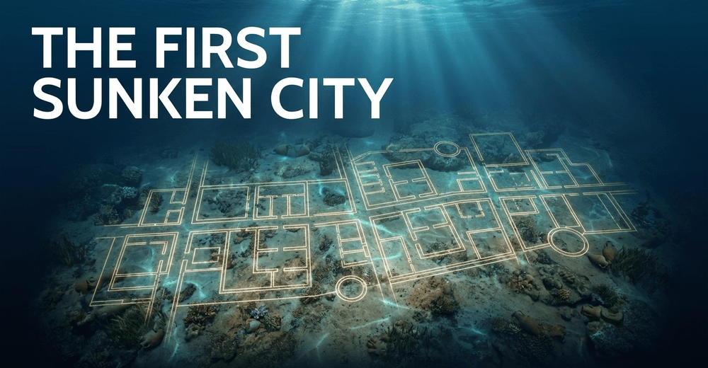
Pavlopetri, located in the shallow waters off the Laconian coast of southern Greece, is the oldest known submerged city, dating back approximately 5,000 years. The site retains a remarkably legible town plan - streets, courtyard buildings, tombs, and storage areas - providing a rare and direct view of Bronze Age urbanism before the settlement was submerged by seismic activity around 1000 BCE. Systematic survey using AUVs and photogrammetry has since produced detailed maps that continue to generate new research and reinterpretation.
Heracleion and Canopus, Egypt - Egypt's drowned port cities
The Egyptian port cities of Heracleion (also known as Thonis) and Canopus, rediscovered in 2000 by underwater archaeologist Franck Goddio and his team, have yielded a continuous stream of extraordinary finds: colossal statues, gold coins, inscribed stelae, and intact temple structures. These cities, which once controlled a major branch of the Nile's mouth, vanished into the sea over a thousand years ago.
Ongoing excavations continue to uncover fresh data. During the 2022 field season, the team recovered a Ptolemaic-era shipwreck from the site, confirming that systematic excavation of this region still has decades of discovery ahead of it.
Atlit-Yam, Israel - a Neolithic village frozen in time
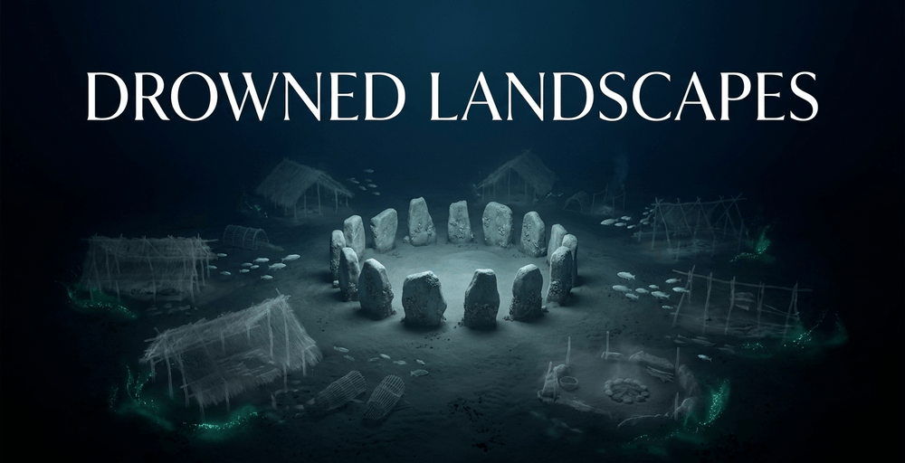
In the Levant, the Neolithic village of Atlit-Yam, dating to approximately 9,000 years ago, provides a remarkable window into the transition from hunter-gatherer lifeways to settled agriculture. The village - submerged through either gradual sea-level rise or, as some researchers have proposed, a sudden tsunami - preserves evidence of early fishing, farming, and ritual burials.
Crucially, Atlit-Yam also contains the world's oldest confirmed cases of tuberculosis (Mycobacterium tuberculosis), identified in the skeletal remains of a woman and child, pushing the known history of the disease back by thousands of years. A stone circle found at the site represents some of the earliest known ritual architecture in the southern Levant.
Port Royal, Jamaica - a 17th-century city sealed by earthquake
Port Royal, Jamaica, serves as a uniquely detailed time capsule of 17th-century colonial life. Once notorious as a hub for pirates and privateers, a large section of the city sank during a catastrophic earthquake on 7 June 1692. Because the submersion was near-instantaneous, the site preserves an unparalleled level of daily detail - intact kitchens, taverns, and warehouses with their contents still in place - that is simply absent in cities that declined slowly over centuries.
Other sites shaping current research
- The submerged ruins off Dwarka, India, which correspond in location to references in ancient Hindu scriptures, though their precise dating and interpretation remain subjects of active scholarly debate
- The submerged quarters of Alexandria, Egypt, where Goddio's team has documented temples, sphinxes, and harbor infrastructure from the Ptolemaic and Roman periods
- Doggerland - the drowned North Sea landmass that once connected Britain to continental Europe - where stone tools, mammoth bones, and pollen samples recovered from the seabed confirm a vast inhabited territory inundated approximately 8,000 years ago

Community archaeology and citizen science
Alongside professional excavation programmes, a growing movement is integrating community archaeology into underwater fieldwork. Local diving communities, indigenous groups with ancestral connections to submerged landscapes, and citizen scientists equipped with consumer-grade underwater cameras are increasingly contributing observational data that helps professional teams prioritize survey areas.
Platforms that allow recreational divers to log and geotag site observations are creating early-warning systems for newly discovered or newly threatened locations. This crowdsourced layer of observation is particularly valuable in shallow coastal zones - areas too large to survey professionally but too important to ignore.
Indigenous participation is gaining formal recognition within the discipline. In regions where submerged landscapes represent ancestral homelands - parts of Australia, the Pacific, and coastal North America - First Nations and Indigenous communities are increasingly named as co-investigators on research permits, not merely consulted as stakeholders.

How to get involved in underwater archaeology
For those drawn to the field, entry routes exist at several levels:
- Academic training: Degrees in archaeology, maritime history, or classical studies provide foundational knowledge; specialist postgraduate programmes in maritime and nautical archaeology are offered at institutions including the University of Southampton, Texas A&M University (home to the Nautical Archaeology Program), and the University of Southern Denmark
- Dive qualification: Scientific diving requires certification beyond recreational levels; programmes such as those offered by AAUS (American Academy of Underwater Sciences) and CMAS provide the internationally recognised standards most research institutions require
- Volunteer fieldwork: Organizations including the INA and regional maritime heritage trusts regularly accept trained volunteers for field seasons; the Nautical Archaeology Society (NAS) in the UK offers a progressive training programme specifically designed to bring recreational divers into heritage work
- Citizen science contributions: Platforms such as the Coastal Monitoring Programme and regional maritime heritage registers accept observation reports from qualified recreational divers
The field's fundamental premise - that the story of humanity does not end at the shoreline - has never been more important to communicate to a wider public.
The road ahead: challenges and opportunities
Underwater archaeology stands at a genuinely consequential juncture. The accelerating pace of climate change, biological invasion, and offshore industrial development means that sites are being lost faster than the field's current capacity to record them. At the same time, the digital tools now available - AI-assisted sonar analysis, AUV swarms, real-time photogrammetric modeling - are expanding that capacity at an equally rapid rate.
The greatest need, however, is not technological but institutional. International cooperation, robust legal frameworks, sustained public funding, and the training of the next generation of specialist researchers are prerequisites that no algorithm can substitute. The UNESCO convention provides a critical foundation, but its limited ratification leaves significant gaps in the global protection network.
Every major discovery, from Pavlopetri to Port Royal, has demonstrated that the submerged record is not a footnote to history but one of its richest and most fragile chapters. Through the use of advanced robotics, artificial intelligence, and growing international collaboration, the discipline is steadily revealing the silent history held within the deep - though the window for doing so is narrowing with every passing season.
Frequently asked questions
What is underwater archaeology? Underwater archaeology is the scientific investigation of human history and prehistory in submerged environments - including oceans, lakes, rivers, and flooded landscapes. It covers shipwrecks, inundated cities, prehistoric coastal settlements, and sacred underwater sites, using methods adapted from terrestrial archaeology alongside specialist diving and remote sensing technologies.
What is the oldest submerged city ever found? Pavlopetri, off the coast of Laconia in southern Greece, is the oldest known submerged city. It dates back approximately 5,000 years and contains a well-preserved Bronze Age town plan including streets, buildings, and tombs. It was submerged by seismic activity around 1000 BCE.
How do underwater archaeologists find submerged sites? Modern underwater survey relies on a combination of side-scan and multibeam sonar to map the seabed, sub-bottom profilers to detect buried structures, marine magnetometers to locate iron objects, and AUVs to cover large areas autonomously. AI-assisted analysis of acoustic and photographic data is increasingly used to identify potential sites of human origin within large survey datasets.
Why are underwater sites threatened by climate change? Rising sea temperatures are expanding the range and breeding season of shipworm (Teredo navalis), which destroys wooden structures. Ocean acidification degrades calcium-based artifacts. Increased storm intensity strips artifacts of the stratigraphic context essential for dating and interpretation. Research by the University of Tennessee estimates that a one-meter sea-level rise could destroy more than 13,000 recorded archaeological sites on the US coastline alone.
Is it legal to dive on historic shipwrecks? Legal status varies widely by jurisdiction and depth. The UNESCO Convention on the Protection of the Underwater Cultural Heritage (2001) prohibits the commercial exploitation of sites over 100 years old and mandates in situ preservation where possible. Within national waters, specific legislation - such as the Abandoned Shipwreck Act (USA) or Protection of Wrecks Act (UK) - governs access. Many protected wrecks are open to recreational divers as visitor sites, but removing artifacts is illegal in most jurisdictions.
Share now









Key takeaways
- Underwater archaeology investigates submerged sites including inundated cities, prehistoric coastal landscapes, shipwrecks, and ritual pools - not only vessel wrecks as commonly assumed.
- George Bass, founder of the Institute of Nautical Archaeology (INA) in 1972 and widely regarded as the father of scientific underwater archaeology, established the field's core excavation standards through his 1960s work at Cape Gelidonya, Turkey.
- Pavlopetri, Greece, is the oldest known submerged city, with a legible Bronze Age town plan dating back approximately 5,000 years; it was submerged by seismic activity around 1000 BCE.
- A one-meter sea-level rise could destroy over 13,000 recorded archaeological sites on U.S. Gulf and Atlantic coasts, including approximately 1,000 sites eligible for the National Register of Historic Places (University of Tennessee research led by David Anderson).
- The Egyptian port cities of Heracleion (Thonis) and Canopus were rediscovered in 2000 by underwater archaeologist Franck Goddio; excavations continue to yield major finds, including a Ptolemaic-era shipwreck discovered during the 2022 field season.
- Atlit-Yam, Israel, a Neolithic village submerged approximately 9,000 years ago, contains the world's oldest confirmed cases of tuberculosis (Mycobacterium tuberculosis), identified in the skeletal remains of a woman and child.
- The cause of Atlit-Yam's submersion remains scientifically debated - candidates include gradual post-glacial sea-level rise and a prehistoric tsunami.
- Port Royal, Jamaica, sank during an earthquake on 7 June 1692; because submersion was near-instantaneous, the site preserves intact 17th-century kitchens, taverns, and warehouses with their contents in place.
- Doggerland, a prehistoric landmass connecting Britain to continental Europe, was inundated approximately 8,000 years ago and is now a major area of submerged landscape archaeology in the North Sea.
- Modern survey tools include Autonomous Underwater Vehicles (AUVs), multibeam sonar, 3D photogrammetry, marine magnetometers, and AI-driven analysis of acoustic and photographic data.
- Specialized underwater vacuum systems can remove sediment at rates of up to 600 gallons per minute, with material passed through floating screens to capture small finds.
- Polyethylene glycol (PEG) is the primary consolidant used to stabilize waterlogged organic artifacts; the treatment process can take months to years and replaces water within the cellular structure of wood.
- Rising sea temperatures are expanding the range and reproduction cycle of Teredo navalis (the shipworm), accelerating the destruction of wooden shipwrecks that had remained stable for centuries.
- Ocean acidification poses a long-term chemical threat to calcium-based artifacts - including bones, shells, and certain building materials - while invasive quagga and zebra mussels in the Great Lakes are encrusting and structurally destabilizing historic shipwrecks.
- The UNESCO Convention on the Protection of the Underwater Cultural Heritage (adopted 2001, in force 2009) prioritizes in situ preservation and prohibits commercial exploitation of submerged sites; more than 70 states have ratified it as of 2026, though the United States and United Kingdom have not formally acceded.
- The Claude Duthuit Archaeology Grant administered by INA offers $30,000 annually for major projects; most other INA grants do not exceed $7,500, with applications due October 1 each year.
- The International Nautical Archaeology Foundation (INAF) was established following a $1 million donation from the Edward & Saryl Von der Porten Trust; its inaugural cycle funded eight global projects with individual awards ranging from £500 to £20,000.
- Development-led archaeology - requiring commercial offshore operators (wind farms, cable-laying, oil and gas) to fund pre-construction seabed surveys - is an emerging funding model that does not depend on competitive grant cycles.
- Community archaeology initiatives, including platforms for recreational divers to log and geotag site observations, are creating early-warning systems for newly threatened or newly discovered underwater sites.
- Entry into the field is possible through academic programmes at institutions including Texas A&M University, the University of Southampton, and the University of Southern Denmark, alongside scientific diving certification through bodies such as AAUS and CMAS.
Sources
- Ancient Origins: Underwater archaeology https://www.ancient-origins.net/artifacts-other-artifacts/underwater-archaeology-0018332
- Wikipedia: Underwater archaeology https://en.wikipedia.org/wiki/Underwater_archaeology
- Society for Historical Archaeology: Heritage at risk underwater https://sha.org/heritage-at-risk/but-underwater-archaeology-is-already-underwater/
- UNESCO: Threats to underwater cultural heritage https://www.unesco.org/en/underwater-heritage/threats
- UNESCO: Convention on the Protection of the Underwater Cultural Heritage https://www.unesco.org/en/underwater-heritage/convention
- NOAA Ocean Explorer: Underwater archaeology https://oceanexplorer.noaa.gov/explainers/archaeology/
- Institute of Nautical Archaeology: Project funding https://nauticalarch.org/project-funding/
- All At Sea: First International Nautical Archaeology Foundation grants awarded https://www.allatsea.co.uk/news/first-international-nautical-archaeology-foundation-grants-awarded/
- Franck Goddio: Thonis-Heracleion project https://www.franckgoddio.org/projects/sunken-civilizations/heracleion.html
- Biblical Archaeology Review: Advancing marine archaeology https://www.biblicalarchaeology.org/daily/archaeology-today/arch-tech/advancing-marine-archaeology/
- Popular Archaeology: Underwater worlds - archaeology of flooded cities and submerged ruins https://popular-archaeology.com/article/underwater-worlds-archaeology-of-flooded-cities-and-submerged-ruins/
- Published 2026-06-03 11:55
- Modified 2026-06-11 17:58

-
Redaction